Return to Photo Index Return to Clickable Map Return to Home Page
Travel Pictures - ALASKA & YUKON - 1994
All images © Ron Miller
Alaska's mountainous southeast coast. From the capital city I boarded one of the
many ferries on the "Alaska Marine Highway" to travel to Skagway through
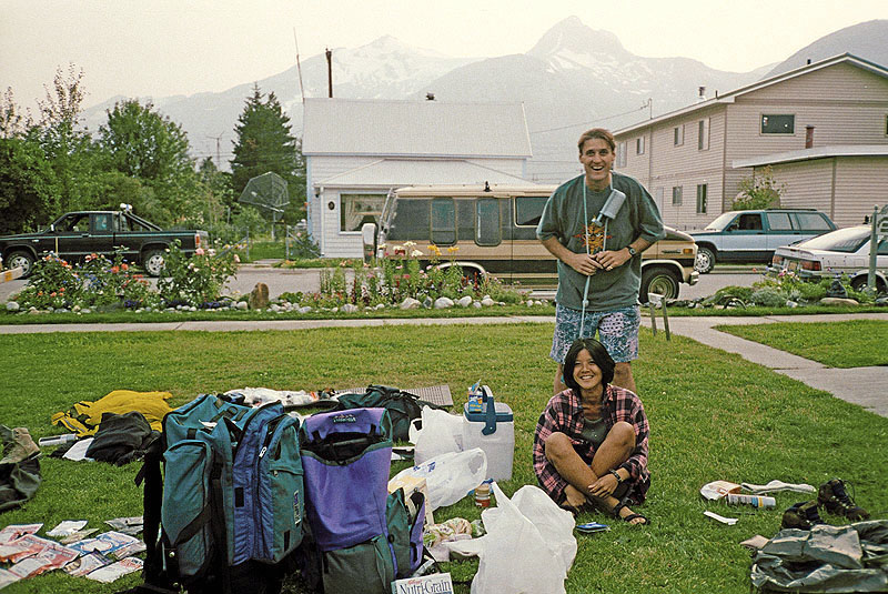
Alaska's archipelago. At this historic, gold rush town I joined two other travelers to
hike the infamous Chilkoot Trail, reaching Canada on foot. I then ventured north to
Dawson City in Yukon and eventually to Inuvik in the Northwest Territories. From
Inuvik I returned to Alaska and visited Fairbanks, Denali National Park, Anchorage,
and the spectacular Kenai Peninsula.

The lovely Valerie, a Canadian traveler, posing high above Alaska's capital
on the Gastineau Channel. The fjords
and sharp, U-shaped valleys were glacially carved and speak of
a much colder climate in the earth's history.
Juneau is inaccessible by land as it is not connected by road to any other
North American highway system -
Juneau,
Alaska
near Juneau, Alaska
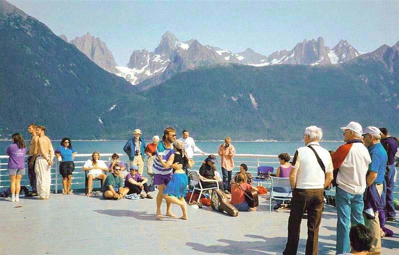
the inside passage from Bellingham, Washington all the way to Skagway, Alaska. The ruggedly beautiful landscape
of Alaska's archipelago makes the boat trip seem more like a sightseeing adventure -
near Skagway, Alaska
Skagway, Alaska
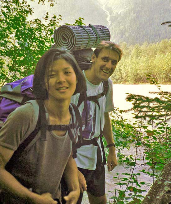
Chilkoot Trail; near Skagway, Alaska
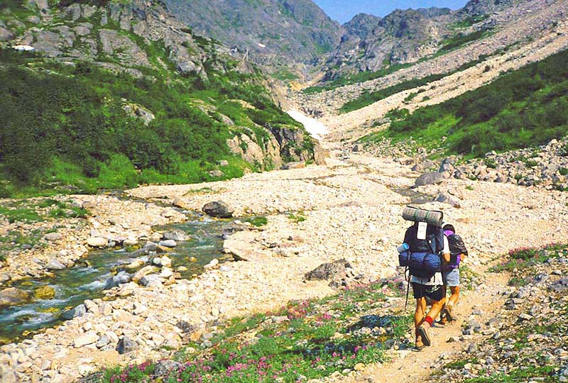
of prospectors crossed the 3,550-foot pass on their way to Dawson City. A strictly enforced law required all prospectors
entering Canada to bring enough food supplies to last them a year. This regulation meant that every miner had to haul
almost 900 kg (a ton) of food over the border - an endeavor requiring multiple trips and close to three months -
Chilkoot Trail, Alaska
British Columbia, Canada
were difficult to maneuver since they were burdened with thousands of pounds of supplies to survive the harsh winters -
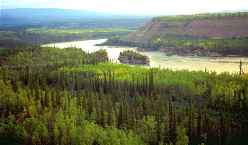
Yukon River, southern Yukon
they must still withstand the seasonal shifting due to the underlying permafrost -
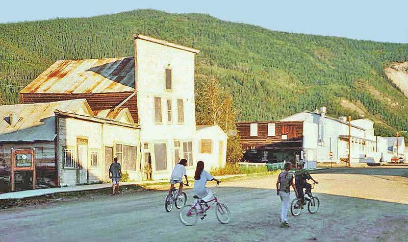
Dawson City, Yukon
Dawson City, Yukon
The Dempster Highway is a 457-mile gravel road connecting Dawson City in the Yukon with Inuvik in the Northwest Territories.
The road consists of a massive gravel pad ranging in thickness from 4 feet to 8 feet to prevent the road from sinking (during summer)
into the underlying permafrost. The pad acts like a blanket to help keep the underlying permafrost frozen through the summer.
The highway follows the route of an old dog sled trail and is named after Royal Canadian Mounted Police Inspector
William Dempster who, as a young constable, frequently ran the route by dog sled -
Yukon, Canada
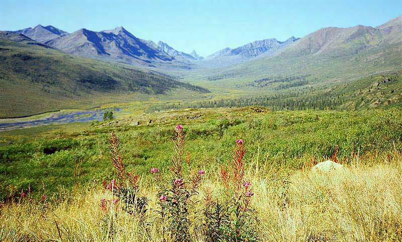
Yukon, Canada
Dempster Highway; Yukon, Canada
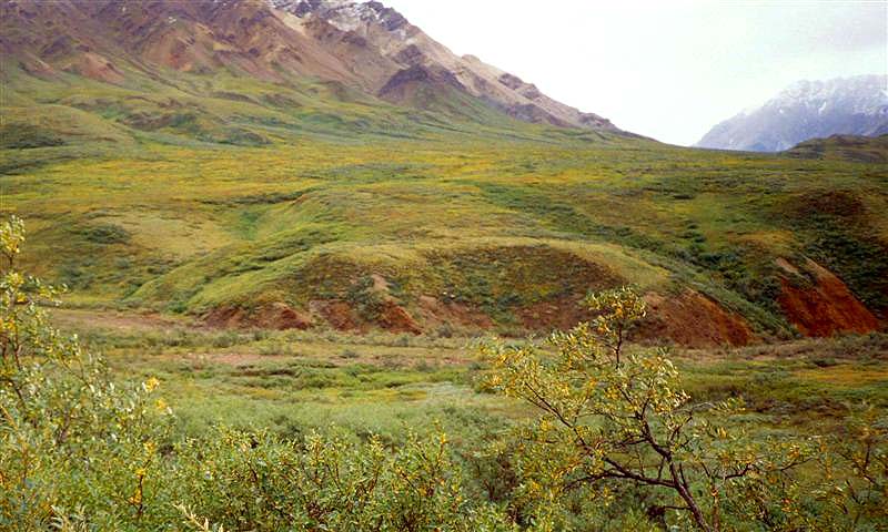
Denali N.P., Alaska
Anchorage, Alaska
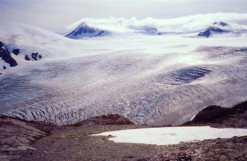
covers more than 1,100 square miles which makes it the largest ice field entirely within the U.S. -
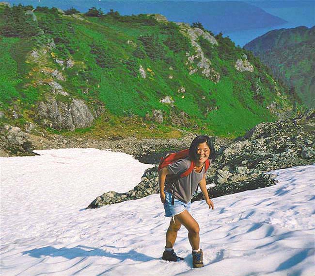
Kenai Peninsula, Alaska
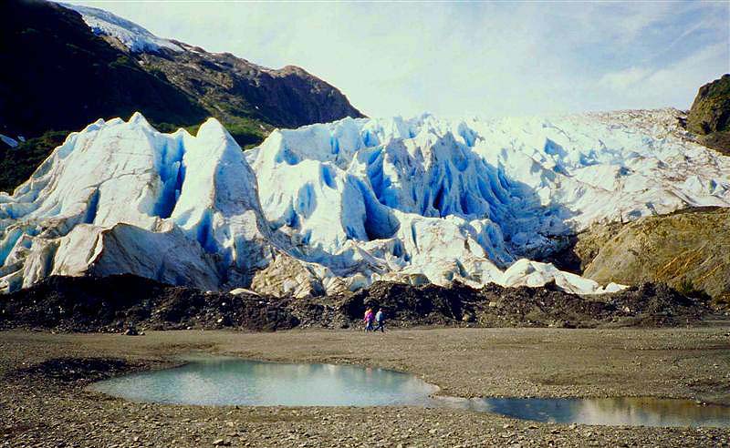
On the surface of the glacier, the entire spectrum of light is reflected and the ice appears as white. However, several feet into the ice,
only the shorter wavelengths penetrate and the ice appears as blue. The absence of air bubbles (the air has been squeezed out) also
aids in the intensity of the blue color because more light is allowed to penetrate. Do you remember the order of the
light spectrum? Here is a guide - (Roy G. Biv) - red, orange, yellow, green, blue, indigo, and violet -
Kenai Peninsula, Alaska
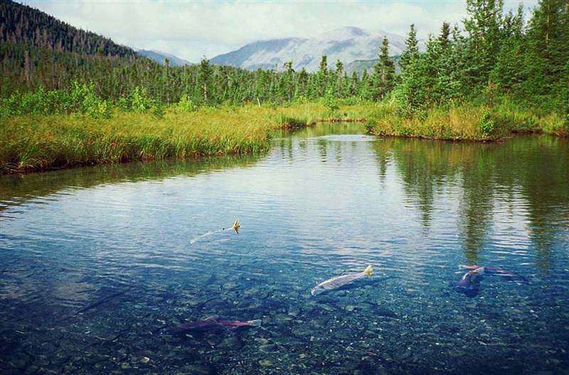
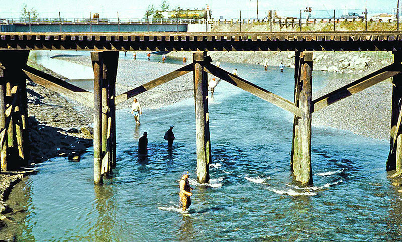
near Ninilchik, Alaska
Return to Photo Index Return to Clickable Map Return to Home Page
For authorized use of these photos, please contact Ron Miller at TheHappyCannibal@gmail.com