Return to Photo Index Return to Clickable Map Return to Home Page
Travel Pictures - BOLIVIA - 1995
All images © Ron Miller
Bolivia is a landlocked country with landscapes that vary from the lowland jungles of the Amazon to the windswept plains and snowcapped peaks of the Altiplano. I entered the country from Brazil and visited Santa Cruz before climbing up to La Paz. From the capital city I ventured down "The World's Most Dangerous Road" to the frontier town of Rurrenabaque before traveling toward Peru and the stunning environs of Lake Titicaca. Bolivia today is a legacy of the Spanish conquest of the Incas, and that legacy allows travelers to experience firsthand the arduous lifestyles and peculiar mindsets of many Bolivians.
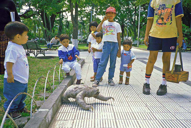
I think these leaf-eating, tree dwellers have a strong resemblance to E.T. -
Santa Cruz, Bolivia
The sloth, while not adept on the ground, is adapted to
life in the trees. A unique aspect of the sloth's coat is that its hair
grows
in the opposite direction of most mammals (away from its extremities)
because it often hangs upside down. The extinct ground sloth,
the much larger cousins of the tree sloth, was enormous - larger than
today's elephants and able to reach as high as 17 feet!
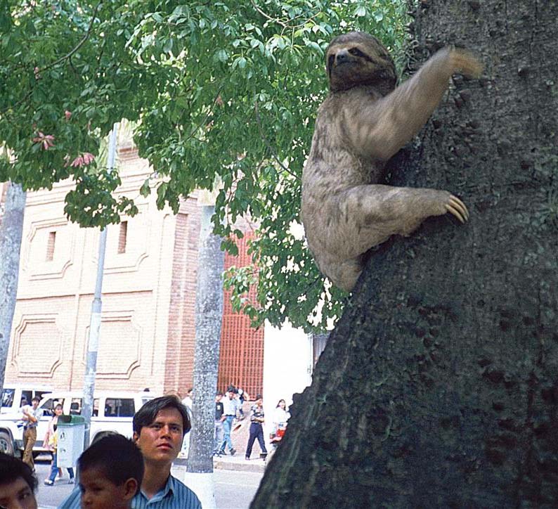
The last known living ground sloth died out in 1550 either on the island
of Hispaniola or Cuba -
Santa Cruz, Bolivia
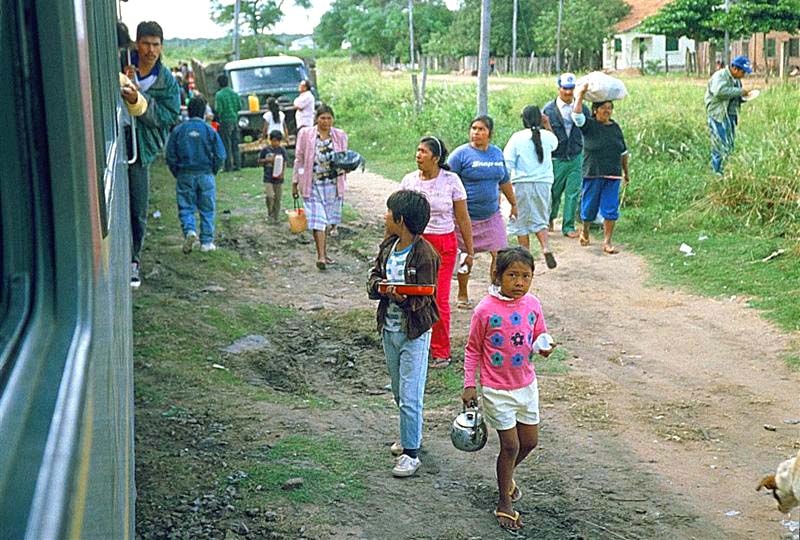
eastern Bolivia
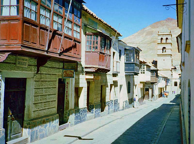
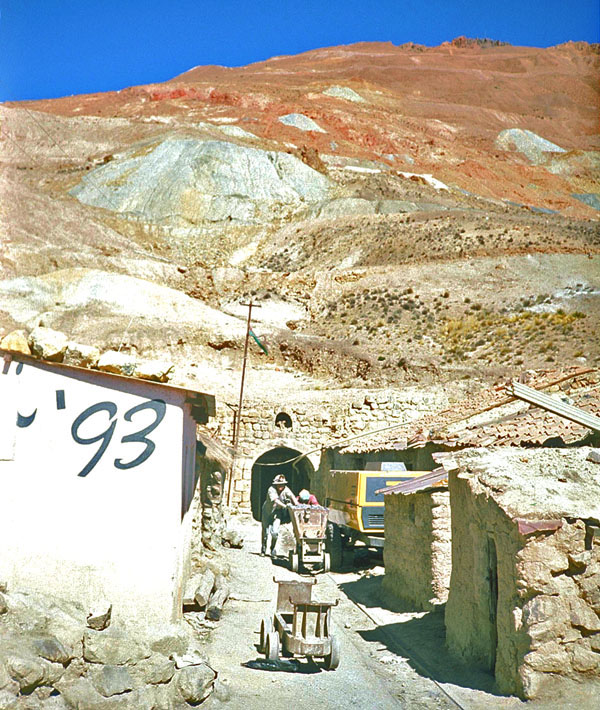
was found in the nearby peak Cerro Rico or "Rich Hill." Following the discovery of silver, Potosi's population grew rapidly to more than
100,000 residents, which at the time was comparable to the populations of London, Paris, and Seville. Even as late as the 1700's,
Potosi was the largest city in the America's. The pyramid-shaped peak, Cerro Rico, rises in the distance -
Potosi, Bolivia
Potosi, Bolivia
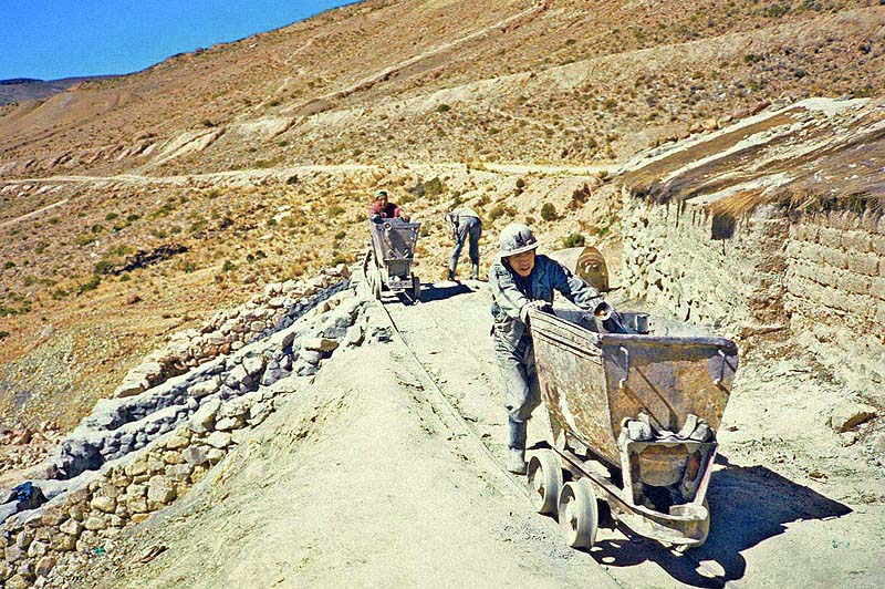
More than a quarter of a million Indians are said to have died from mining accidents, lung disease, and mercury poisoning
under a forced labor system that was imposed by greedy Spanish colonists -
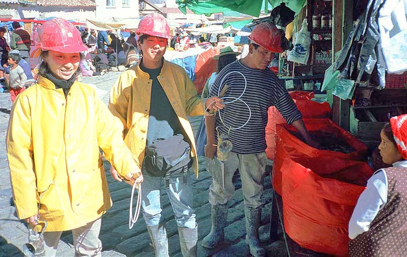
Potosi, Bolivia
and die in the same mines just like their ancestors -
Potosi, Bolivia
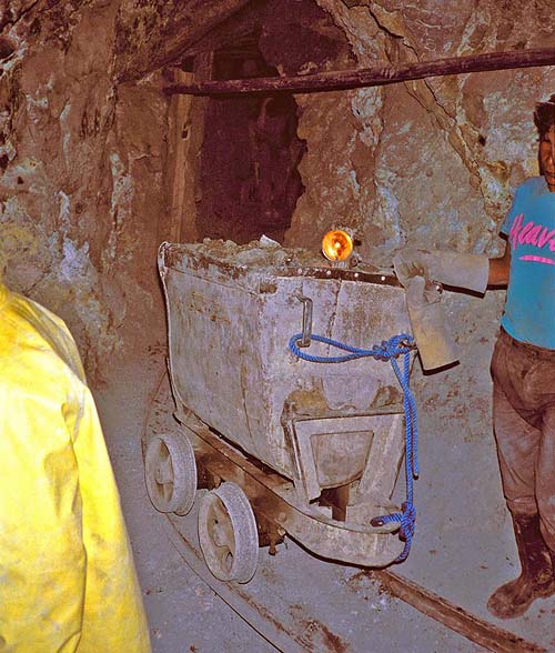
and ascending rickety ladders, the "tourists' tour" really provided me with a strong impression
of the difficult lives of the miners. I was never more relieved to see the light of day -
Potosi, Bolivia
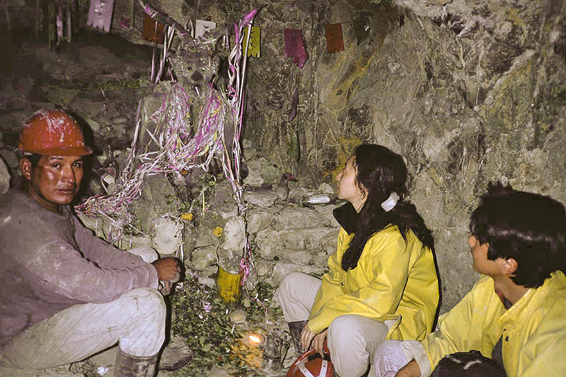
symbolize virility. Was it simply a coincidence that this devil had a long nose and beard resembling the avaricious Spaniards
of the colonial era? The miners give offerings to the "master of the inner earth" for their safety in the mines -
Potosi, Bolivia
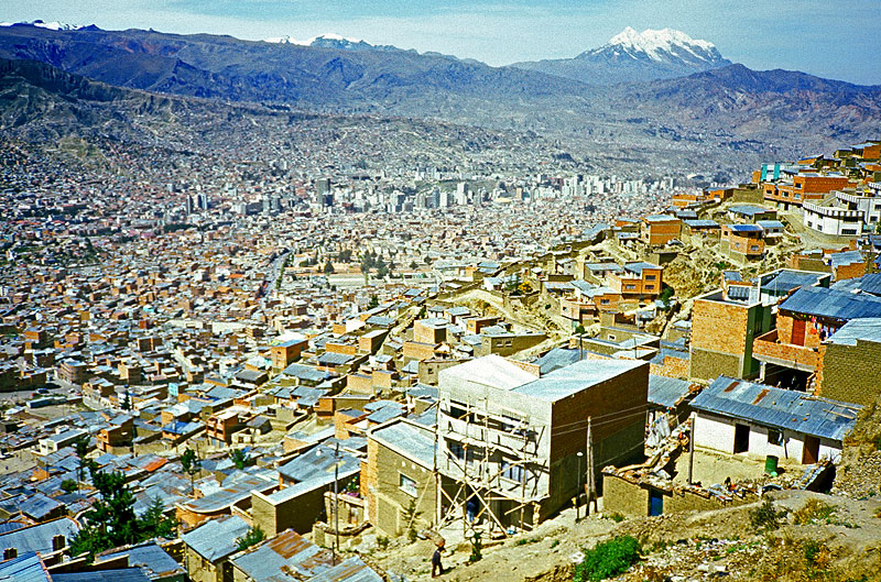
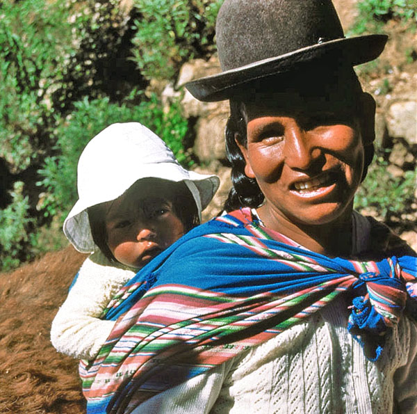
La Paz, Bolivia
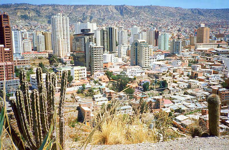
La Paz, Bolivia
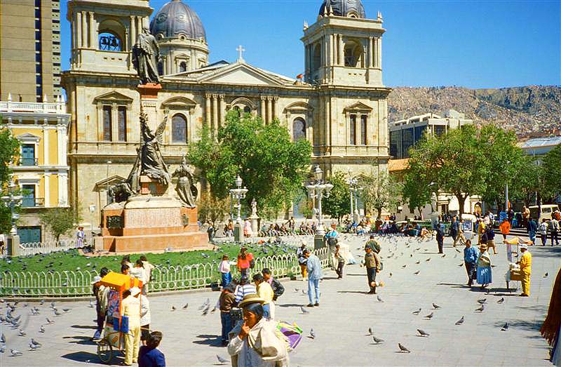
La Paz, Bolivia
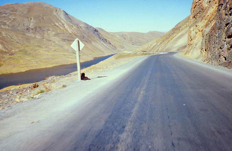
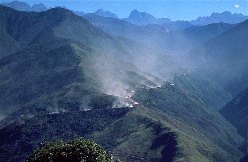
that descends more than 10,000 feet from the barren Altiplano to the Amazon lowlands -
near Coroico, Bolivia
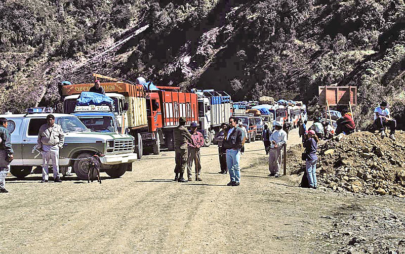
(A second dog is waiting up ahead in the middle of the road!). This wacky scene has developed
because the truck drivers religiously throw food scraps to the dogs for good luck
before descending the "World's Most Dangerous Road" -
near Coroico, Bolivia
gives them the liberty to then recklessly speed down the lethal stretch of road. Just before my descent of the
"death highway," a cargo truck with dozens of passengers went rolling down the mountainside, killing everyone on board -
near Coroico, Bolivia
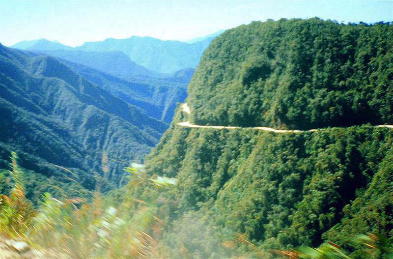
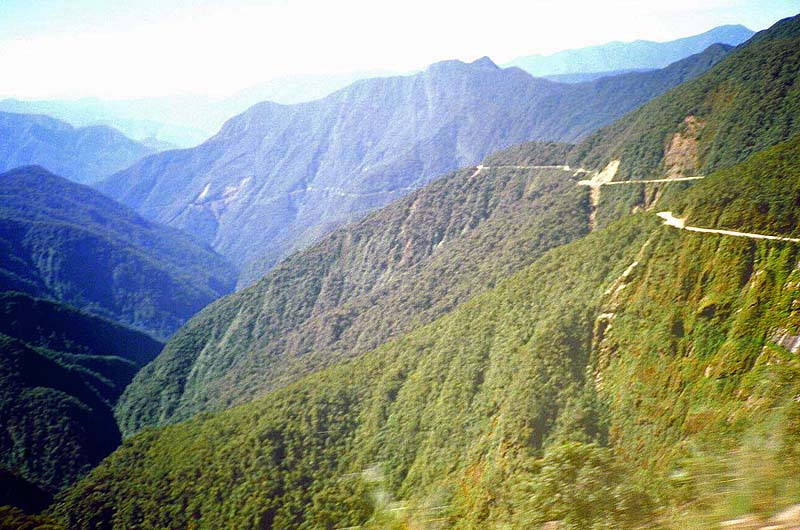
near Coroico, Bolivia
A new highway was opened in 2006 to replace this source of nightmares -
Coroico, Bolivia
© BrianKMiller.com
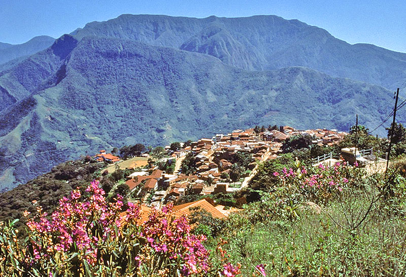
and climate are much more appealing than than oxygen-starved Altiplano -
Coroico, Bolivia
© BrianKMiller.com
Coroico, Bolivia
© BrianKMiller.com
Coroico, Bolivia
© BrianKMiller.com
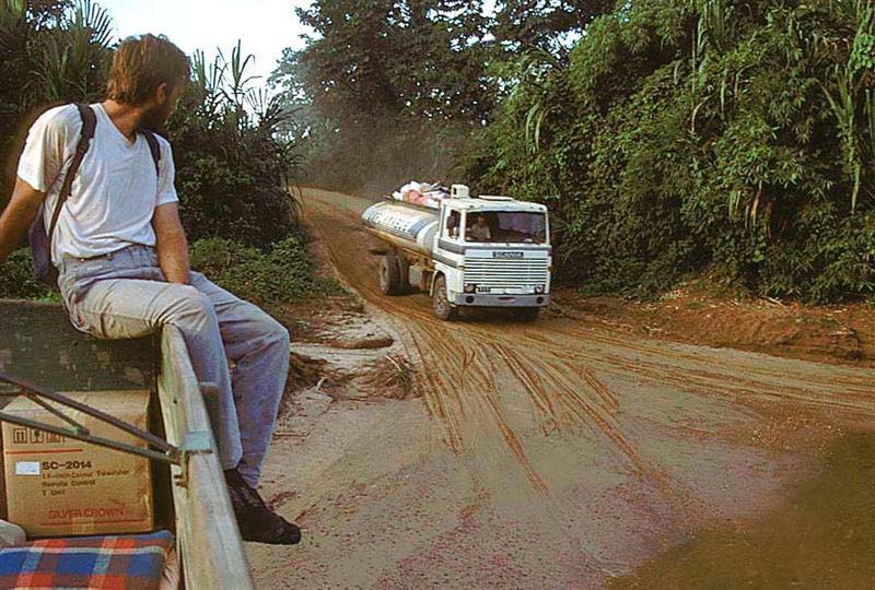
of a cargo truck. Sitting was impossible on the rough jungle road so the experience was like trying
to remain standing during a violent earthquake in a shower of dust -
near Rurrenabaque, Bolivia
© BrianKMiller.com
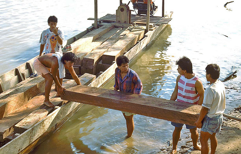
near Rurrenabaque, Bolivia
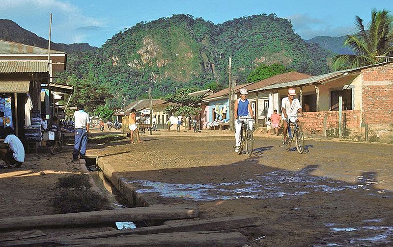
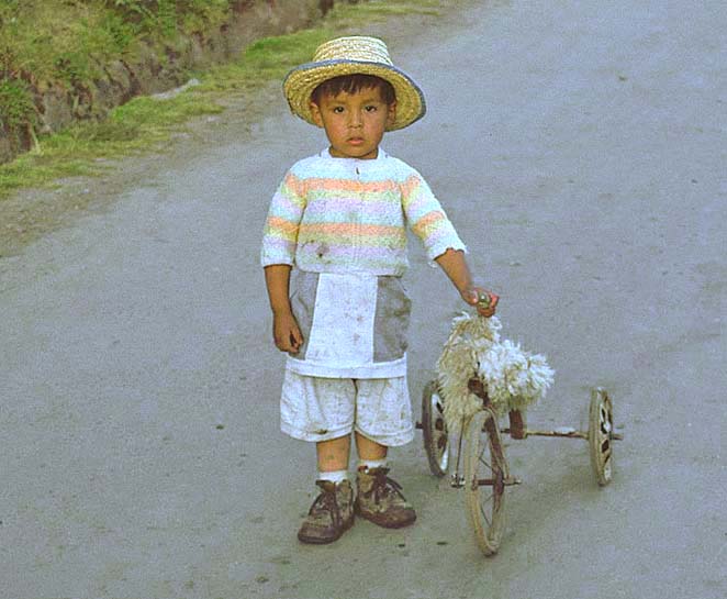
The arduous journey to get here certainly makes the location feel like a jungle outpost -
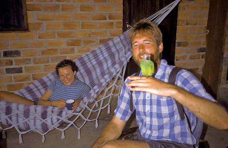
Rurrenabaque, Bolivia
© BrianKMiller.com
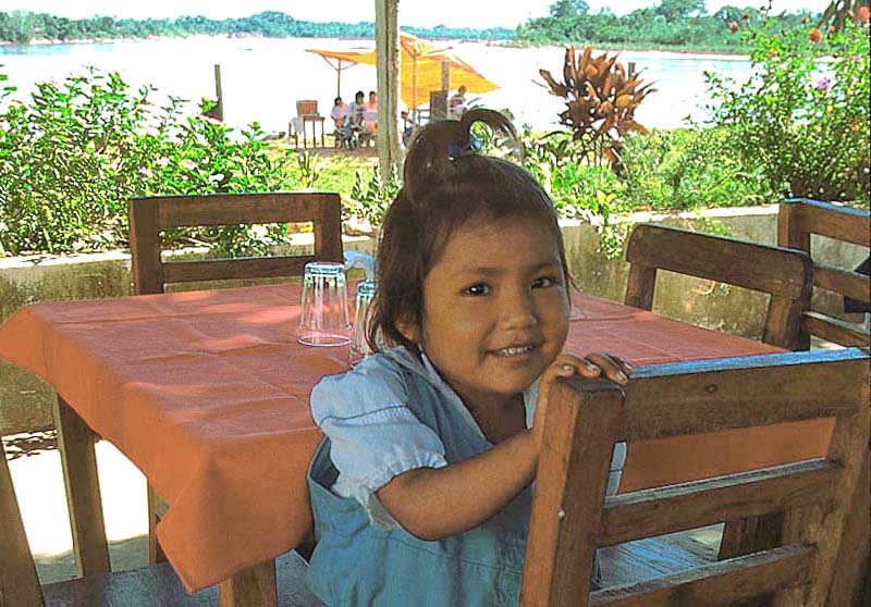
Rurrenabaque, Bolivia
© BrianKMiller.com
Rurrenabaque, Bolivia
© BrianKMiller.com
Rurrenabaque, Bolivia
© BrianKMiller.com
Rurrenabaque, Bolivia
© BrianKMiller.com
Rurrenabaque, Bolivia
© BrianKMiller.com
Rurrenabaque, Bolivia
Rurrenabaque, Bolivia
Rurrenabaque, Bolivia
Rurrenabaque, Bolivia
Rurrenabaque, Bolivia
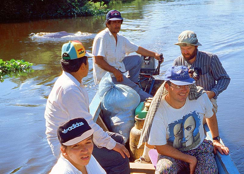
actually went swimming with the dolphins. Our guides comforted us saying, "Where there are dolphins, there are no alligators."
(I learned afterward that this was not true as, many times, I spotted dolphins and gators in close proximity along the river).
I noticed that our guides never strayed from land. They probably have another saying:
"Tourist so stupid they believe anything." -
near Rurrenabaque, Bolivia
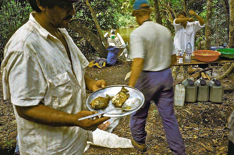
the tasty white flesh of these toothy critters than the other way around. We stayed one night (one night too many) in the jungle
amid the incessant buzz of blood-thirsty mosquitoes. In the river, the jungle greets visitors with the powerful jaws of gators
and the razor-like teeth of piranha; meanwhile, on land, visitors are welcomed by swarms of winged hypodermic needles.
Even with such a large welcoming committee, somehow I still dislike the jungle -
near Rurrenabaque, Bolivia
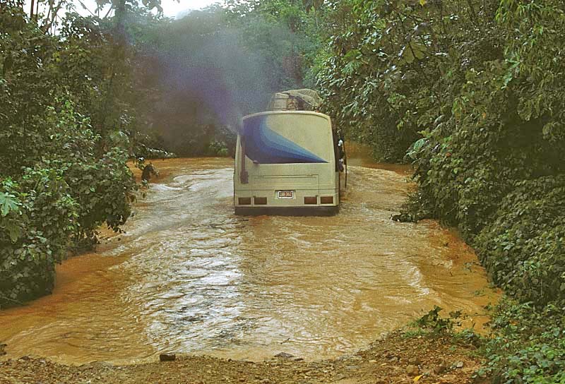
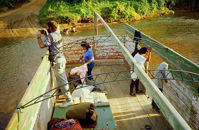
different hazard. This bus was actually nudged downstream before escaping the torrent and traversing the swollen creek! -
near Rurrenabaque, Bolivia
© BrianKMiller.com
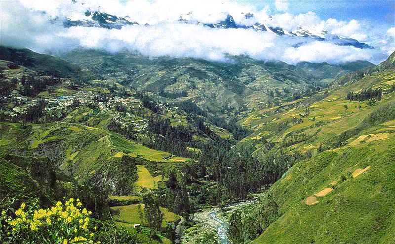
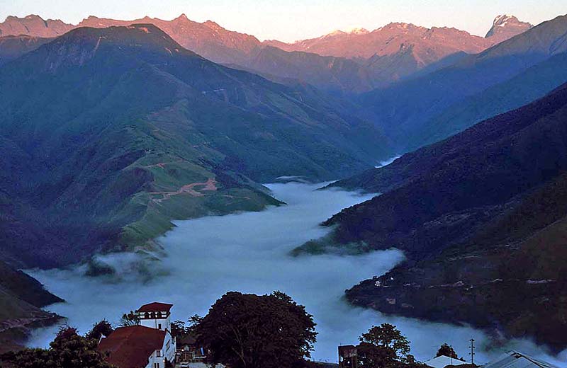
Sorata, Bolivia
© BrianKMiller.com
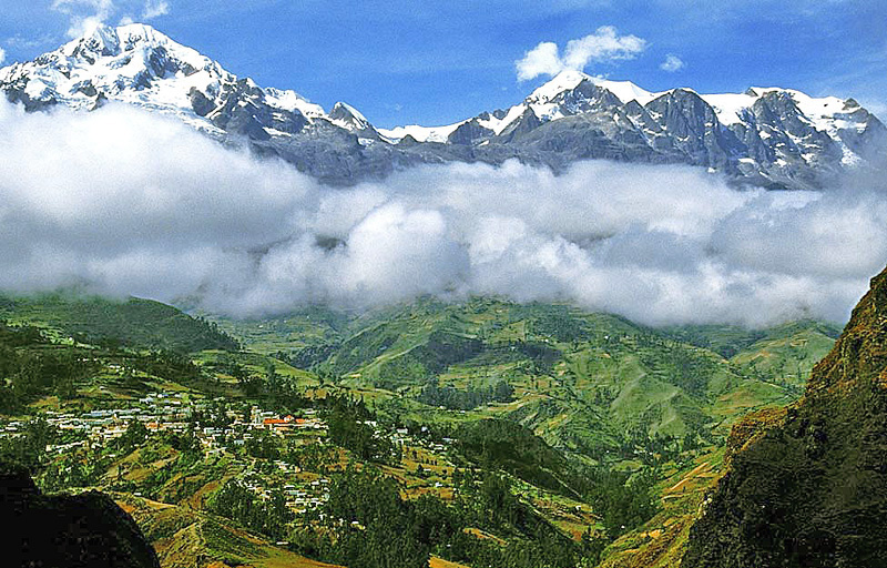
Sorata, Bolivia
© BrianKMiller.com
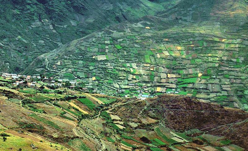
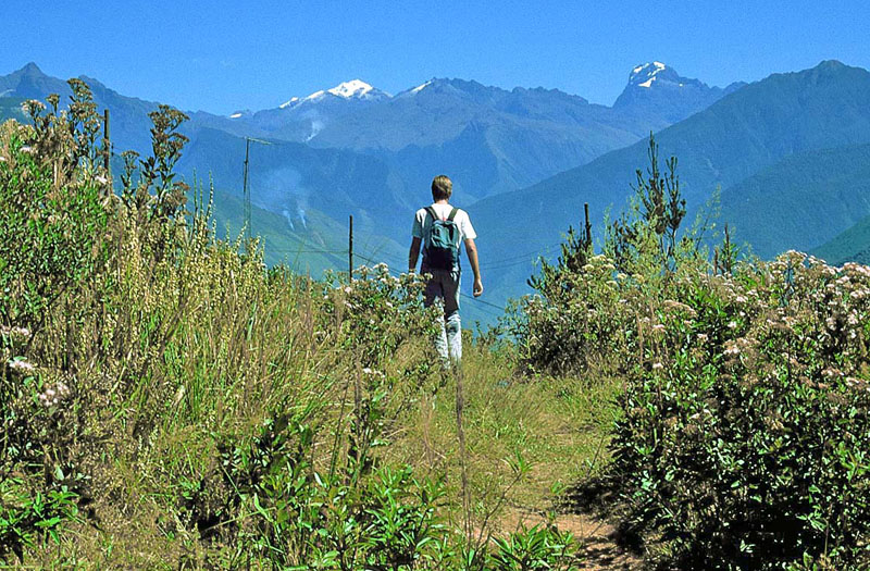
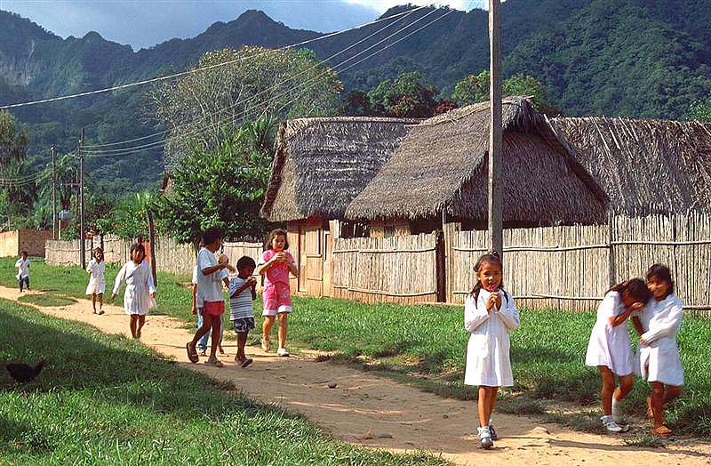
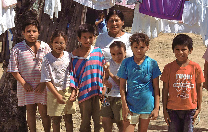
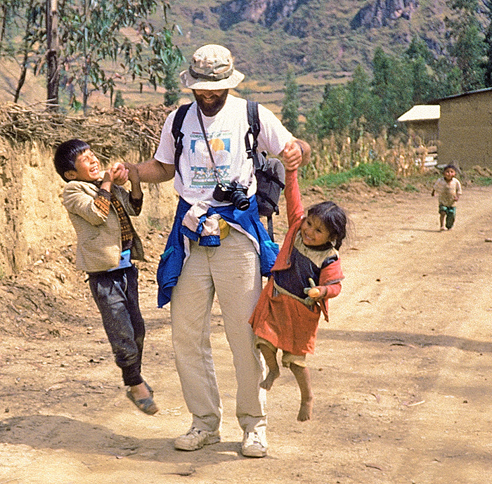
near Sorata, Bolivia
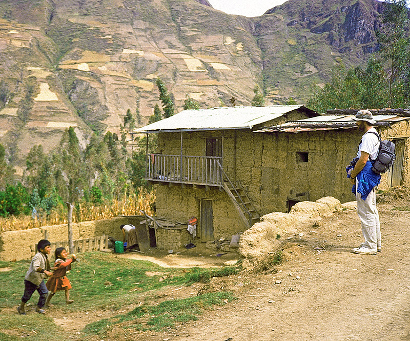
The children seemed to "sense" who was the more experienced traveler as they ran right past me and
directly to my brother. However, Brian skillfully got rid of the children as you can see in the next photo -
Brian and "friends"; Sorata, Bolivia
Sorata, Bolivia
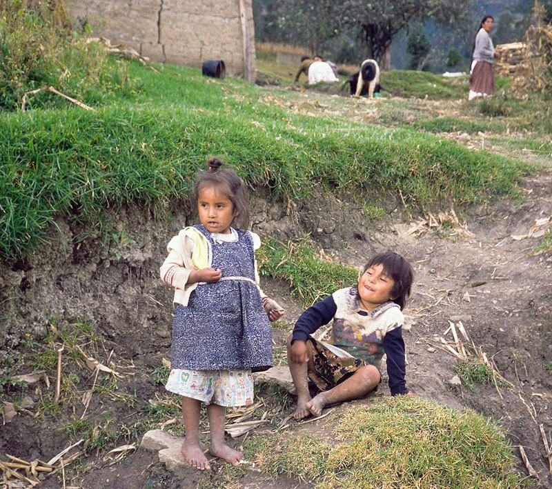
Sorata, Bolivia
© BrianKMiller.com
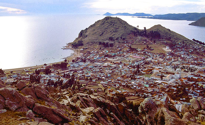
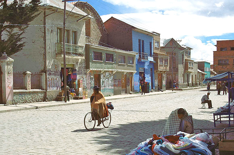
Copacabana, Bolivia
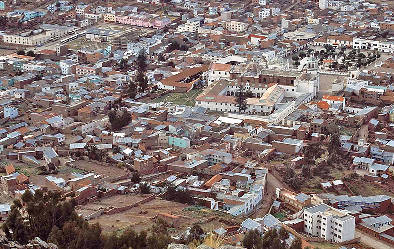
Copacabana, Bolivia
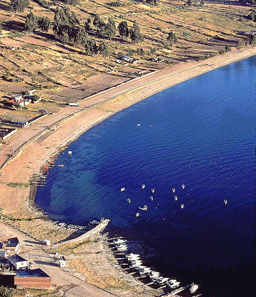
highest navigable lakes at 12,500 feet above sea level -
Copacabana, Bolivia
as it was a spiritual center before and after the Spanish conquest -
Copacabana, Bolivia
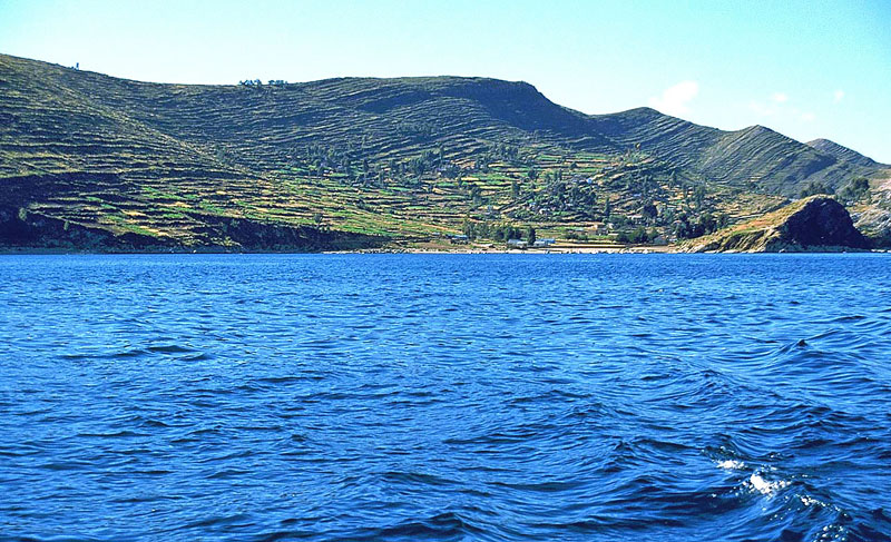
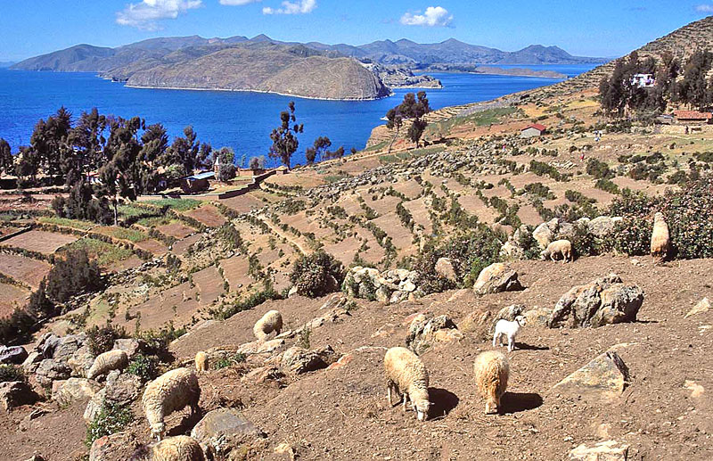
Lake Titicaca, Bolivia
© BrianKMiller.com
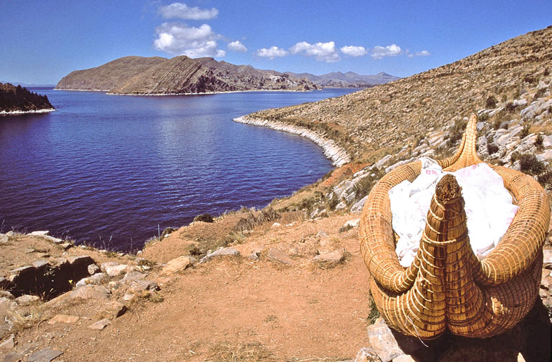
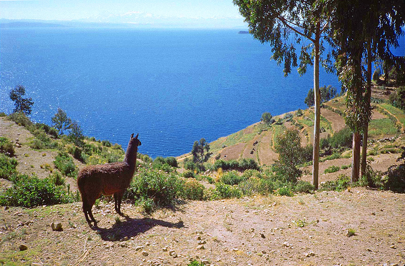
Isla Del Sol, Bolivia
© BrianKMiller.com
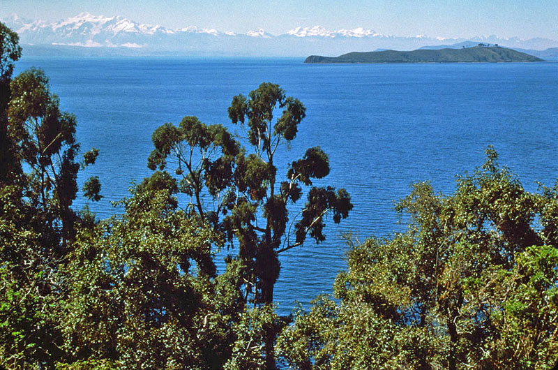
Isla Del Sol, Bolivia
© BrianKMiller.com
Isla Del Sol, Bolivia
© BrianKMiller.com
Isla Del Sol, Bolivia
© BrianKMiller.com
Isla Del Sol, Bolivia
© BrianKMiller.com
Isla Del Sol, Bolivia
© BrianKMiller.com
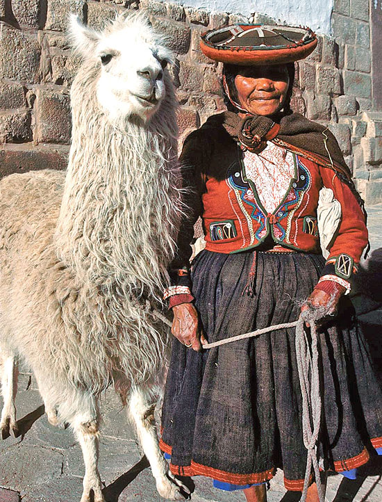
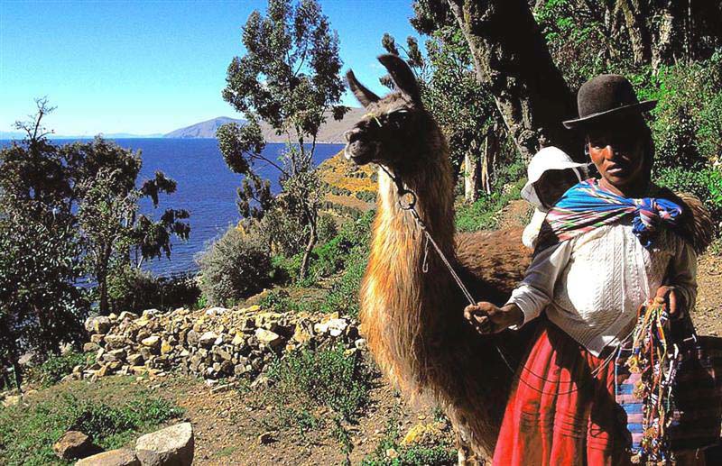
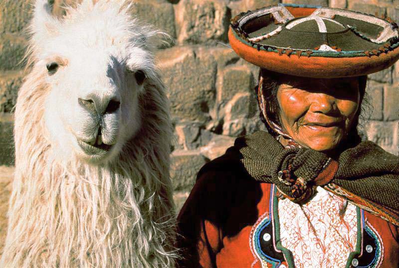
Isla del Sol will allow you to snap their photo if you pay a little money -
Isla Del Sol, Bolivia
© BrianKMiller.com
Isla Del Sol, Bolivia
© BrianKMiller.com
Return to Photo Index Return to Clickable Map Return to Home Page
For authorized use of these photos, please contact Ron Miller at TheHappyCannibal@gmail.com