Return to Photo Index Return to Clickable Map Return to Home Page
Travel Pictures - MEXICO - 1994
All images © Ron Miller
I entered Mexico at Tijuana and traveled down the Baja Peninsula before crossing the Gulf of California to visit the Copper Canyon on the mainland. From the lovely town of Creel I traveled south by bus to the Silver Cities of Central Mexico and then to Mexico's beautiful Pacific coast. After a brief stay in Mexico City, I continued toward Guatemala with a stop in the state of Chiapas where remnants of the ancient Mayan culture were still flourishing.
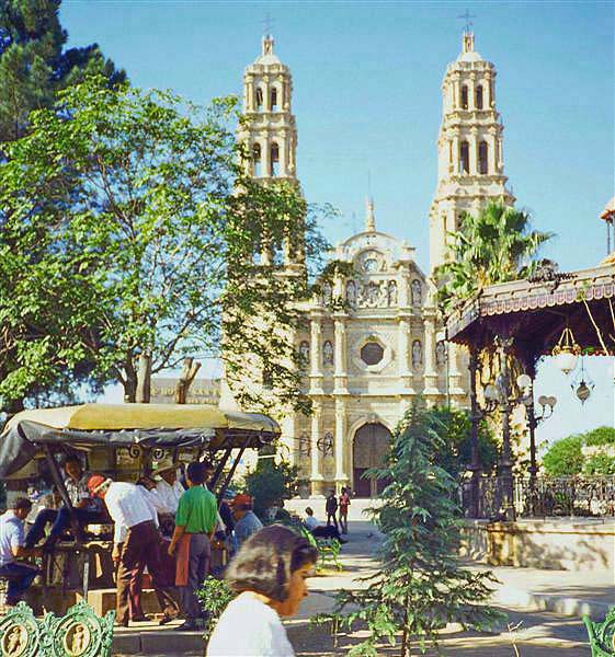
A lovely zocalo and cathedral in the capital city of the
Mexican state of the same name -
Chihuahua,
Mexico
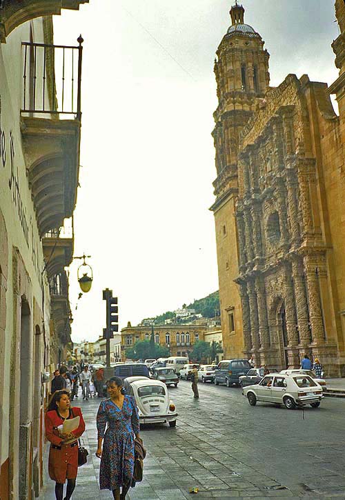
In fact, decades before the Declaration of Independence, Mexico's beautiful
colonial cities were already flourishing from mining profits. Today, Mexico
still ranks second in the world in the production of silver -
Zacatecas, Mexico
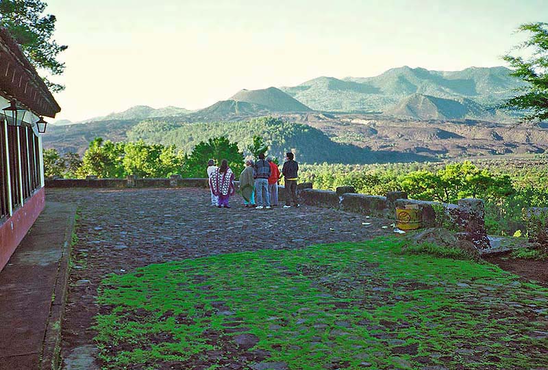
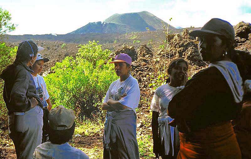
emerged from a cornfield in 1943 to the great surprise of a farmer tending his field! -
Paricutin, Mexico
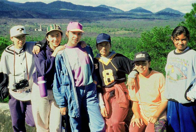
The cathedral of San Juan can be seen between the girls at left -
Paricutin, Mexico
Paricutin, Mexico
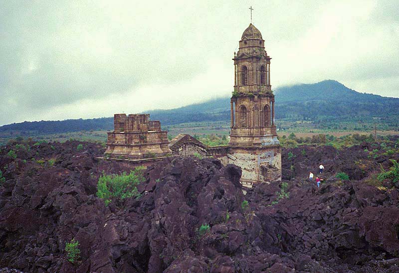
covered with lava from the volcanic eruptions of Paricutin that began in 1943 -
Paricutin, Mexico
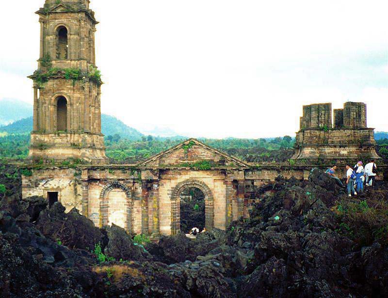
Paricutin, Mexico
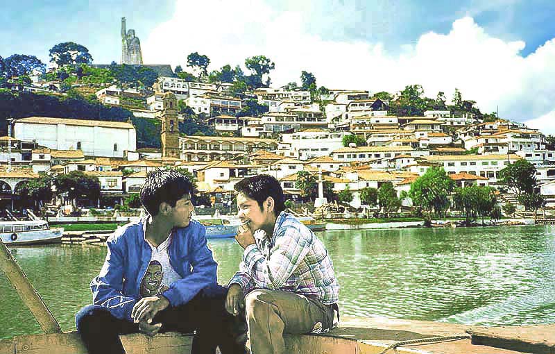
near Patzcuaro, Mexico
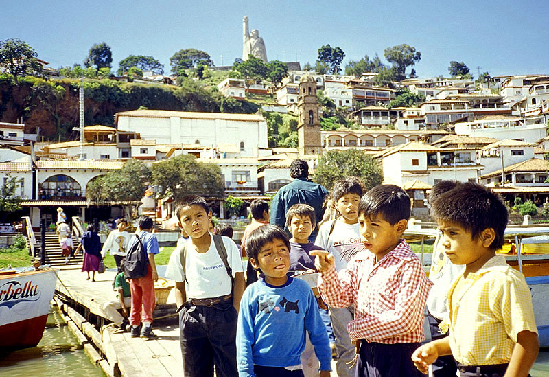
raised, clinched fist is a macho version of the Statue of Liberty that is dedicated to the revolutionary leader Jose Maria Morelos -
Janitzio Island; Patzcuaro, Mexico
(dressed in white) disseminating literature about their missing leaders -
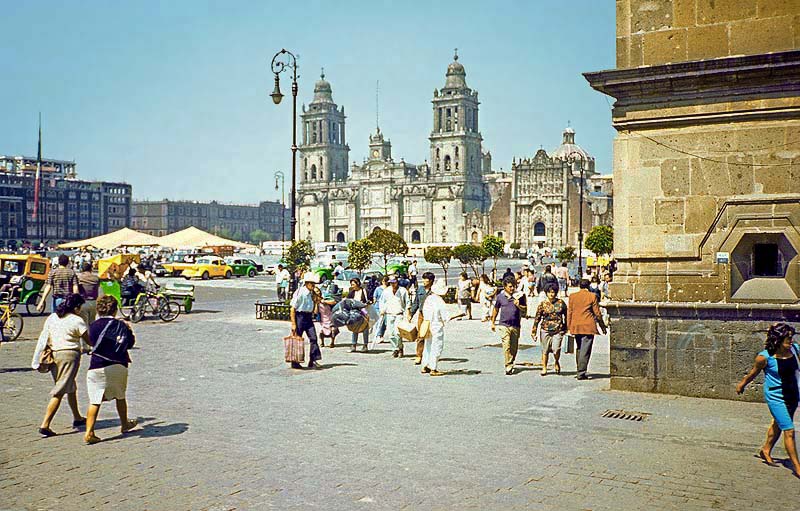
Mexico City, Mexico
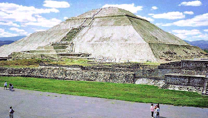
Teotihuacan, Mexico
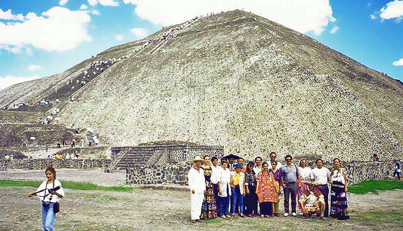
Teotihuacan, Mexico
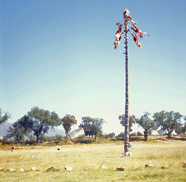
Teotihuacan, Mexico
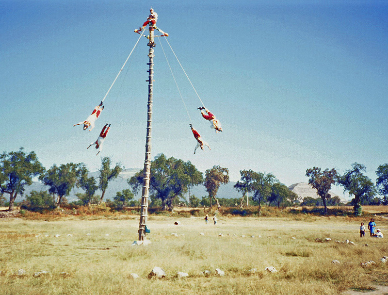
Teotihuacan, Mexico
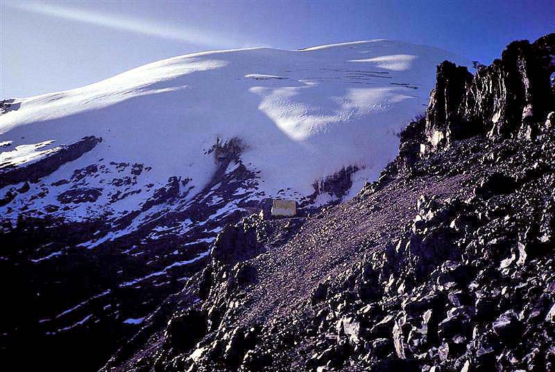
Popocatepetl Volcano, Mexico
Popocatepetl Volcano, Mexico
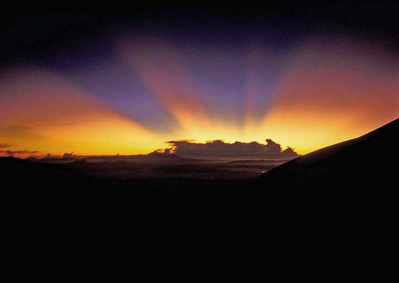
Popocatepetl Volcano, Mexico
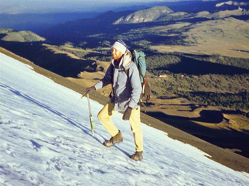
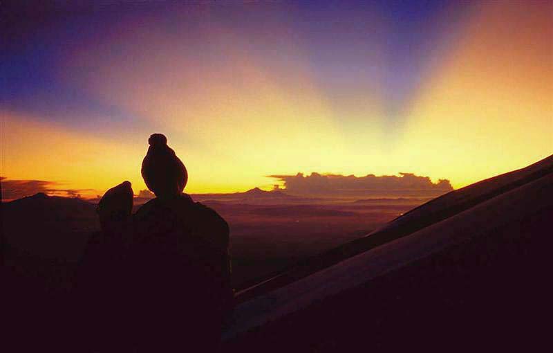
with my first climbing experience - that is, until the onset of altitude sickness -
Popocatepetl Volcano, Mexico
My fellow climbers did not realize that I was suffering from the altitude and was unable to maintain their pace.
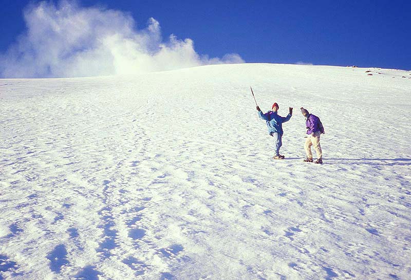
It did not help my ego considering the fact that I could not even keep up with Chloe - a ballerina! -
Popocatepetl Volcano, Mexico
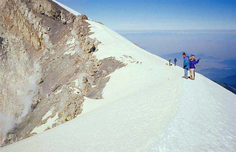
discolored snow on the "crater" side of the rim. Not only was there a lack of oxygen on the rim but a strong smell of sulfur as well.
Only two months after our ascent, the volcano spewed gas and ash prompting the evacuation of nearby towns -
Popocatepetl Volcano, Mexico
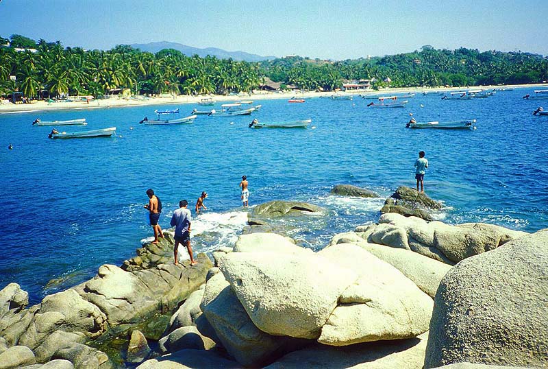
Puerto Escondido, Mexico
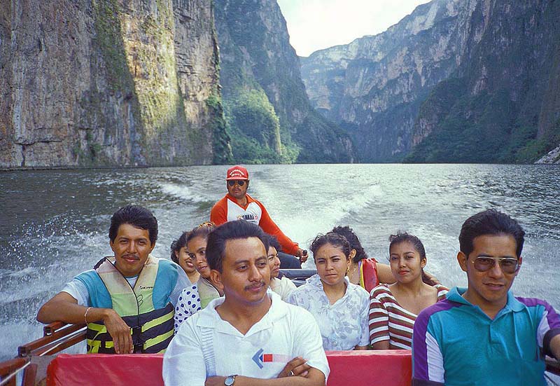
Sumidero Canyon, Mexico
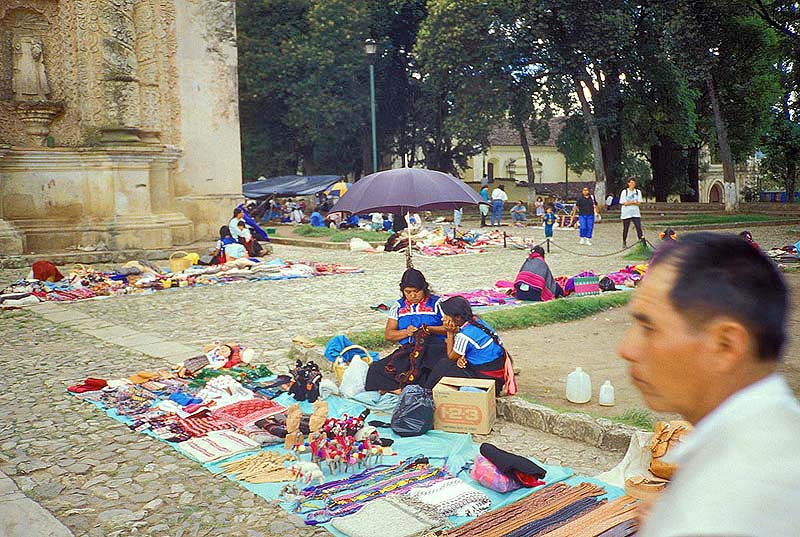
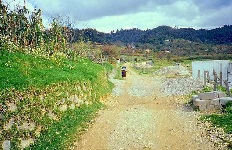
San Cristobal de Las Casas, Mexico
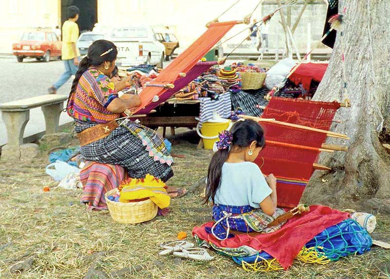
San Cristobal de Las Casas, Mexico
San Cristobal de Las Casas, Mexico
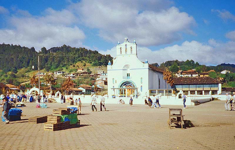
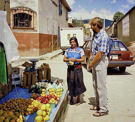
San Juan Chamula, Mexico
and on the right is a new construction typical of more advanced societies. Meanwhile, in the center of the photo is an Indian woman
returning to her village with a crate of Coke bottles strapped awkwardly to her back! -
San Juan Chamula, Mexico
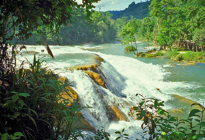
Agua Azul, Mexico
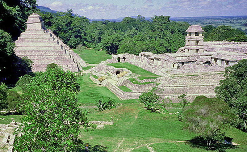
a major population center about 600 A.D., and the existing structures were most likely constructed about the year 800. The ruins
are not as large as other Mayan sites such as Tikal in Guatemala, but Palenque contains several nice structures in a wonderful
jungle setting. The city was abandoned in the 10th century, and it was completely engulfed by forest when the Spanish arrived -
Chiapas, Mexico
Return to Photo Index Return to Clickable Map Return to Home Page
For authorized use of these photos, please contact Ron Miller at TheHappyCannibal@gmail.com